

As part of the Coastal Plan review, the council is mapping out areas of significant indigenous biodiversity that overlap with landowner boundaries and they are asking landowners to provide feedback with a drop-in session planned for Thursday, April 13 (tonight) at the Town Hall. The Waikato Regional Coastal Plan – which is currently being reviewed – sets out the rules and regulations the council will use to manage activities in our coastal areas.
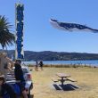
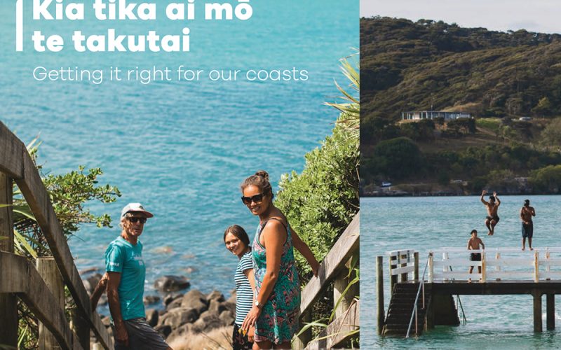
Whāingaroa is home to a large stretch of coastline which is significant to mana whenua for cultural purposes; home to birds like ōi and kororā; and is highly valued for recreation like surfing and fishing. According to the Waikato Regional Council (WRC), identifying areas of significant indigenous biodiversity will help to inform any new activities that take place in those areas.
“It doesn’t change ownership or anything currently happening in the area,” says WRC Chair Pamela Storey. “It just identifies where these biodiversity values are so that if someone wants to start a new activity, these maps could be used to inform the resource consent process for example.” (listen to the full interview below:) Around 400 letters have been sent out to landowners who have land bordering the region’s west and east coasts to show where significant areas may have been identified on their property. WRC management of the coastal marine area applies to the foreshore, seabed, coastal water and the airspace above the water.
“We’re seeking feedback from the community to make sure that the information has hit the right spot,” said Pamela.
Identifying significant indigenous biodiversity areas as part of the Coastal Plan Review has been an ongoing process that has involved a number of inputs from iwi, NIWA, coastal users and industry, residents and WRC staff over the past five years.
While Pamela says that any new coastal activities will have unique aspects that need to be taken into consideration, the maps are a recognition that new activities could have an impact on the biodiversity in the area – and by drawing attention to these areas – any negative impacts can be mitigated.
With some landowners voicing their concerns on social media, Pamela encourages everybody to contact WRC to discuss their concerns or to come along to the drop-in sessions to find out more information.
The Waikato Regional Coastal Plan is still in its draft stages and will not be out for public submissions until later in the year.
To find out more, visit the Waikato Regional Council website. Waikato Regional Council Coastal Plan Review Drop-in session West Coast, 5pm – 6.30pm, Thursday 13 April at the Raglan Town Hall, 41 Bow St, Raglan. https://raglanradio.com/wp-content/uploads/2025/06/RCR_wrc-coastal-plan.jpg